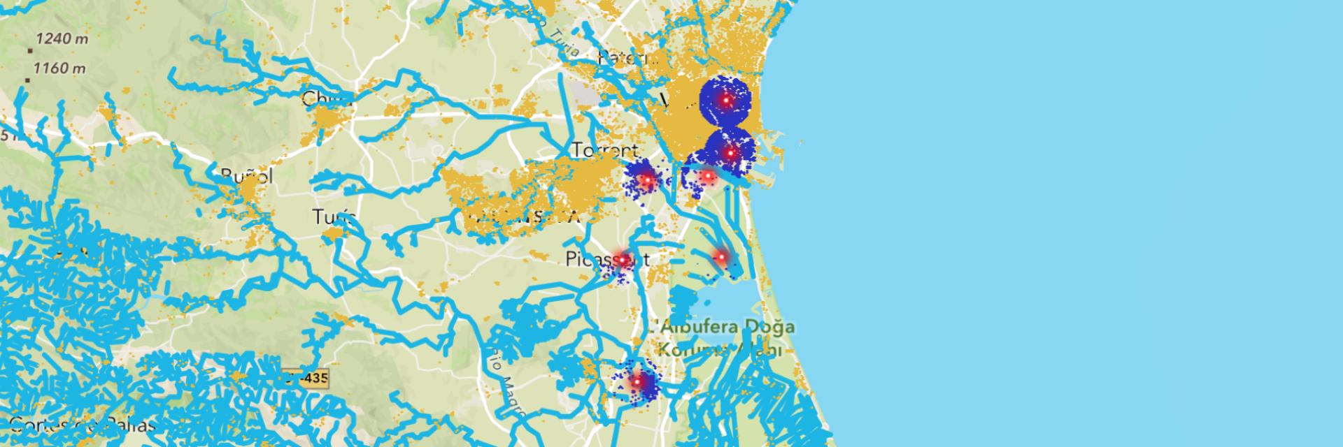
Needs Map Global has started its work by closely monitoring the situation in the region to support disaster management. The flood map for Spain published by Needs Map Global aims to collect data and information about the disaster in order to create conscious and rapid decision-making mechanisms and contribute to intervention processes.
The flood map combines open source geographic data and demographic analysis to support Spain’s disaster management efforts
The building footprints (building inventory) from OpenStreetMap are combined with the population data of the Spanish neighborhood from the Esri Living Atlas in the background of the Flood Map. In this way, the population density in the areas where flooding is concentrated and the number of people affected are determined.
According to the estimated data in the Flood Map for Spain, the number of people affected by the flood disaster is 453,694 and the number of buildings damaged by the flood disaster is 17,025.
You can see the latest data and learn more about the affected areas by visiting the Spain Flood Map platform.
For the Spanish platform: https://needsmap.coop/mapa-de-inundaciones-es/
For the English platform: https://needsmap.coop/mapa-de-inundaciones-en/

